elevation models
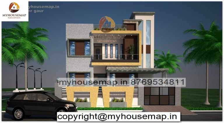
33×60 Ft 1980 Sqft elevation models design with car parking grey and yellow color tiles.

33×60 Ft 1980 Sqft elevation models design with car parking grey and yellow color tiles.
33×60
Plot Size
2
no. of floor
4
Bedroom
2
toilet
Ask Now
Simple elevation contours are defined as the simple vertical measurements between parallel level surfaces. While this definition is accurate and useful, there are some situations where this simple definition is not applicable.
Elevation models are best used for situations that involve many different types of terrains and are set in many different environments. Examples of these situations include open countryside, urban areas, or even artificial or man-made landscapes like a golf course.
Simple elevation models also don’t give much information about the elevations of individual components. For example, the distance from one road intersection to the next (e.g., the sidewalk to the main road intersection) is not included in the model. The best way to solve this problem is by creating separate zones in your elevation data model.
You can also run multiple maps with the same GIS on the same computer or on different computers connected to the internet, using the local network in the case of an intranet. Local spatial resolution and high quality image reproduction are the two most important benefits of creating simple GIS models.
CHAT WITH US